CARE SEMINAR IN JULY 2026: ARTIFICIAL INTELLIGENCE AND EARTH OBSERVATION FOR ENVIRONMENTAL MONITORING
Originally posted: 13/07/2026
On July 13, 2026, CARE organized a scientific seminar held at CARE - HCMUT, presented by Dr. Silvia Valero (IRD / CESBIO) during her visit to the laboratory.
Dr. Silvia Valero received the M.S. degree in electrical engineering from the Universitat Politècnica de Catalunya (UPC), Barcelona, Spain, in 2007, the M.S. degree in computer science from the Grenoble Institute of Technology (Grenoble-INP), France, in 2008, and a joint Ph.D. degree in signal processing from Grenoble-INP and UPC in 2011. She is currently Associate Professor of Computer Science at Université Paul Sabatier – IUT'A, Toulouse, France, and carries out her research at the Centre d'Études Spatiales de la BIOsphère (CESBIO). Her research interests include image processing and machine learning for remote sensing data.
In her presentation, Dr. Valero first set out the broader context of her research. Remote sensing satellites are an efficient tool for consistently and regularly retrieving geophysical measurements for large-scale monitoring of the Earth's surface, and the growing number of Earth observation missions now allows land surfaces to be monitored at various spatial, temporal, and spectral resolutions. This “big satellite data” revolution has coincided with a major transformation in Artificial Intelligence methods, which offer great potential for extracting meaningful, high-level information from large volumes of data. AI methods nevertheless still face significant challenges when processing remote sensing data: the unique characteristics of multimodal satellite image time series impose specific constraints, and the availability and quality of reference data for training remain well-known bottlenecks in Earth sciences.
In this context, Dr. Valero introduced the opportunities offered by self-supervised representation learning for Earth observation applications, where large amounts of unlabelled satellite data are available but labelled ground measurements are scarce. She showed in particular how incorporating prior knowledge of physics into AI methodologies can effectively invert remote sensing radiative transfer models, and presented applications for mapping essential variables such as land cover, leaf area index, and optical water properties from satellite imagery.
CARE would like to thank Dr. Silvia Valero for this stimulating seminar, as well as all participants who joined on site and online.
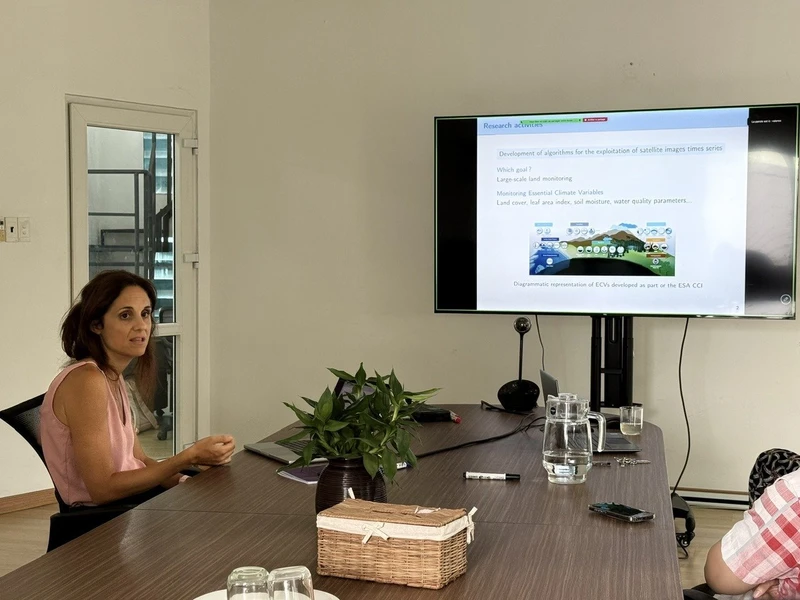
Dr. Silvia Valero presenting her research on the exploitation of satellite image time series.
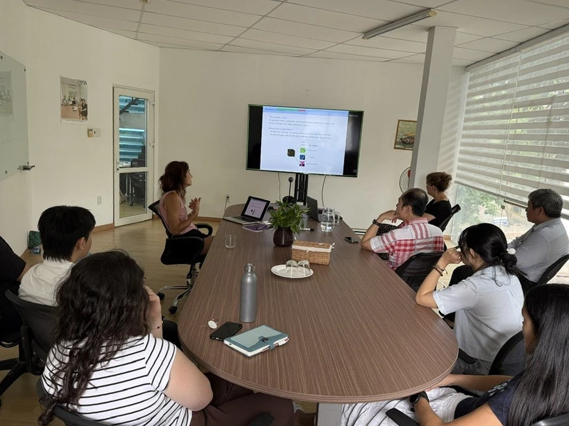
Participants attending the seminar in the CARE Meeting Room, HCMUT.