
Hydrodynamic Modeling of Meso-Tidal Rivers in Data-Scarce Regions: Francisco Rodrigues do Amaral Successfully Defends PhD at IGE.
We are delighted to announce that Francisco Rodrigues do Amaral has successfully defended his PhD at IGE on « Hydrodynamic Modelling of a Meso-Tidal River Using In-Situ and SWOT satellite measurements in a Data-Scarce Region
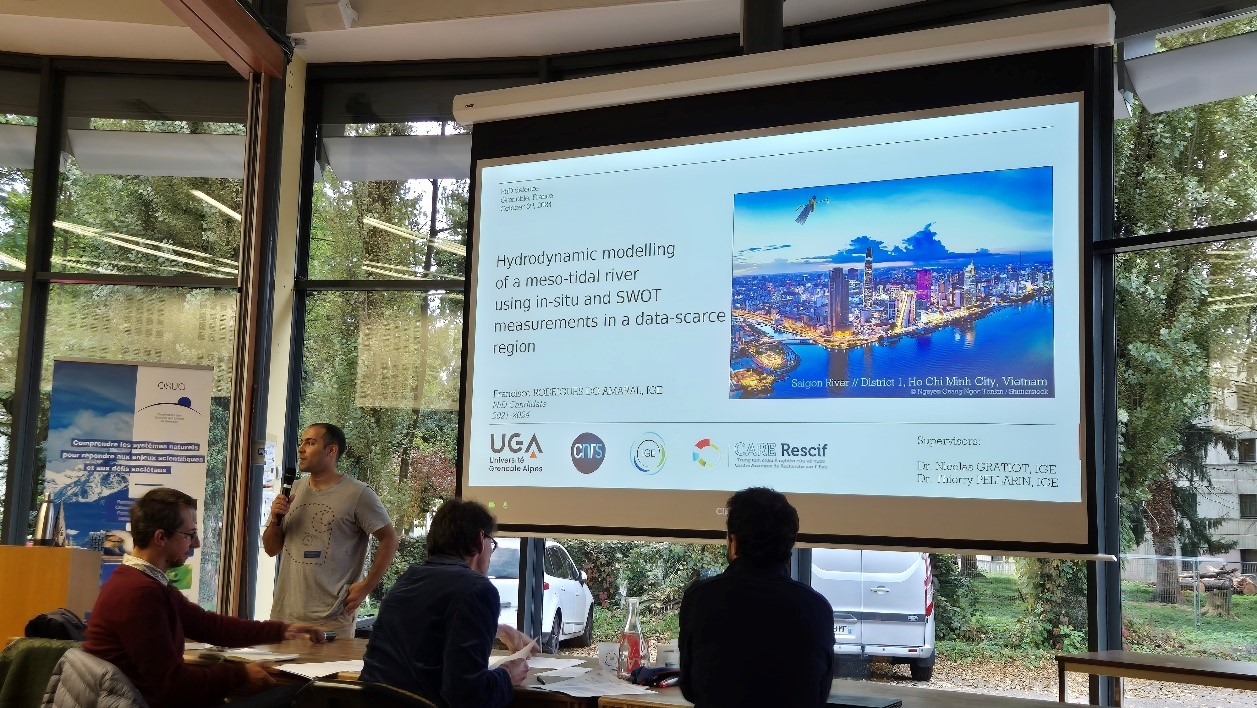
Congratulations also to his two supervisors: Dr. Nicolas Gratiot (IRD, IGE, CARE) and Dr. Thierry Pellarin (IGE, CNRS) and to the jury: Prof. Paolo Perona (EPFL), Dr. Sylvain Biancamaria (CNRS), Prof. Nguyen Phuoc Dan (Ho Chi Minh City University of Technology (HCMUT)/CARE), Prof. Julien Nemery (Grenoble INP - UGA), Dr. Carina de Lurdes Bastos Lopes (CESAM - Centre for Environmental and Marine Studies).
His research offers valuable insights into the hydrological-to-ocean continuum in the estuary of Ho Chi Minh City, Vietnam. This data-scarce region, characterized by flat topography, a heavily urbanized environment, and a river subject to strong tidal forcing, provides a unique setting to advance our understanding of estuarine dynamics. Francisco spent a lot of time in France at IGE and also in Vietnam at CARE (Center of Asian Research on watEr)/Ho Chi Minh City University of Technology (HCMUT) to perform in-situ measurements in close collaboration with Vietnamese researchers.
Keen to know more about Francisco’s work, below are the key highlights of his PhD:
- Impact of Typhoon Usagi: Analysis of extreme rainfall and inland water level surges, highlighting the role of seasonal coastal storm surges and the interplay between riverine and tidal forces. Publication: https://nhess.copernicus.org/articles/23/3379/2023/
- Field Campaign Insights: Detailed high-resolution water level and discharge measurements from a two-month campaign, providing critical data for model calibration. Publication: https://www.sciencedirect.com/science/article/pii/S2352340923002664?via%3Dihub
- Hydrodynamic Model Development: Implementation, calibration and validation of a 1D hydrodynamic model for the Saigon and Dongnai rivers, addressing the complexities of tidal conditions and scarce upstream data. Preprint: https://egusphere.copernicus.org/preprints/2024/egusphere-2024-1563/
- SWOT Satellite Data Potential (pre-launch): Statistical assessment and application of synthetic SWOT satellite measurements, demonstrating their value in improving discharge estimations in challenging environments. Publication: https://journals.plos.org/water/article/authors?id=10.1371/journal.pwat.0000226
- SWOT Satellite real data validation: He explores how the nouvel SWOT satellite performs over such a complex estuarine area focusing on its layer 2 river products of water surface elevation and slope and comparing them to in-situ measurements. Manuscript submitted to IEEE Geoscience and remote Sensing Letters.